Features TerraMapper
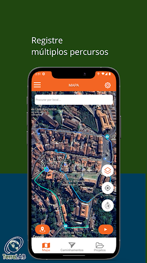
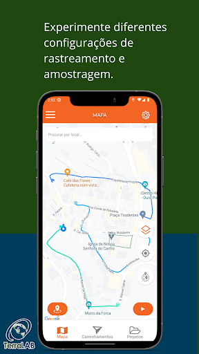
TerraMapper is an application that uses the smartphones GPS function to collect data, allowing points and paths to be marked by the user.Each point allows the generation of a customizable form, where this data can be exported and viewed in GeoJSON format tools.The user can organize their routes using the organizations provided by the application:* Projects, which can include different PATHS.* Points, which can be added along the different PATHS.* Forms, which are linked to points and allow for customization.At each point marked by the user, the user can add specific media for greater detail, for example:* Text Fields* Location* Photographs* Videos* Audios
Music Features
Enjoy high-quality music streaming and playback features.
Camera Features
Advanced camera features with editing capabilities.
Fitness Tracking
Track your workouts and monitor your health metrics.
See the TerraMapper in Action

Get the App Today
Available for Android 8.0 and above